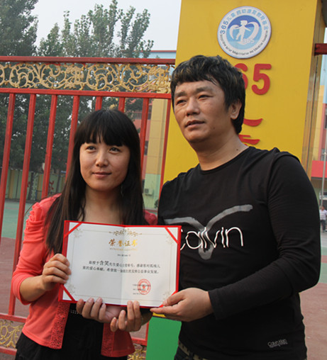
魏占玉,男,1981年生,内蒙古赤峰市人,中国地震局地质研究所副研究员,理学博士
2000.09-2004.06:中国矿业大学资源与地球科学学院,获地理信息系统学士学位;
2007.09-2007.06:中国矿业大学(北京)资源与安全工程学院,获地球探测与信息技术硕士学位;
2007.09-2010.06:中国地震局地质研究所,获构造地质学博士学位;
2013.09-2014.09:美国亚利桑那州立大学,访问学者进行合作交流。
研究方向:
活动构造、构造地貌分析及地震地质方面研究。
承担科研项目情况:
主持国家自然基金(面上基金)1项、基本科研业务专项2项,参与多项其他国家自然科学基金、地震局行业专项。
代表论着:
获奖及荣誉:
魏占玉, 何宏林, 董绍鹏, 陈杰, 高翔, 孙海清, 王世元. 2008. 从两个地表破裂点的几何学与运动学特徵分析汶川地震的破裂方式. 地震地质, 30(4), 1023-1032.
魏占玉,石峰,高翔,徐长朋,何宏林,2010. 汶川地震地表破裂面形貌特徵. 地学前缘,(17)5: 53-66
Zhanyu Wei, Honglin He, Feng Shi, Xiang Gao, and Changpeng Xu, 2010. Topographic Characteristics of Rupture Surface Associated with the 12 May 2008 Wenchaun Earthquake. Bulletin of the Seismological Society of America, 100(5B): 2669-2680, doi: 10.1785/0120090260
魏占玉, 何宏林, 石峰, 徐岳仁, 毕丽思, 孙浩越. 2012. 大凉山断裂带南段滑动速率估计. 地震地质, 34(2), 282-293
Wei Z, He H. Weathering history of an exposed bedrock fault surface interpreted from its topography [J]. Journal of Structural Geology, 2013, 56: 34-44.
魏占玉, 何宏林, 高伟, 徐锡伟, 甘卫军,卫蕾华. 2014. 基于LiDAR 数据开展活动断层填图的实验研究——以新疆独山子背斜-逆沖断裂带为例. 地震地质,36(3), 794-813.
Wei Z, Bi L, Xu Y, et al. Evaluating knickpoint recession along an active fault for paleoseismological analysis: The Huoshan Piedmont, Eastern China[J]. Geomorphology, 2015, 235: 63-76.
Wei Z, Arrowsmith J R, He H, 2015. Evaluating fluvial terrace riser degradation using LiDAR-derived topography: An example from the northern Tian Shan, China. Journal of Asian Earth Sciences,
魏占玉,Arrowsmith Ramon,何宏林,高伟. 2015. 基于SfM方法的高密度点云数据生成及精度分析. 地震地质,37(2)
Wei Z, He H, Hao H, et al. Automated mapping of landforms through the application of supervised classification to lidAR-derived


